Price drivers
Geometry, surface, grade, obstacles, storm tier, timing, and return work all move the price of preseason snow staking & site mapping.
Greater Burlington winter service
A fall walkthrough documenting boundaries, obstacles, drains, utilities, snow storage, priority access, and service notes.
Model the property✓ Reflective edge and hazard staking
✓ Property map and photo documentation
✓ Snow-storage and no-stack areas
✓ Parking and communication plan
Service in plain language
A fall walkthrough documenting boundaries, obstacles, drains, utilities, snow storage, priority access, and service notes.
Stakes are most useful when they mark decisions—not merely both sides of a driveway. Culverts, walls, curbs, drains, islands, utilities, decorative objects, width changes, drop-offs, and no-stack areas should be documented.
The site map becomes the operating reference during dark, active storms. It should be updated after landscaping, paving, construction, or a midseason change in parking and access.
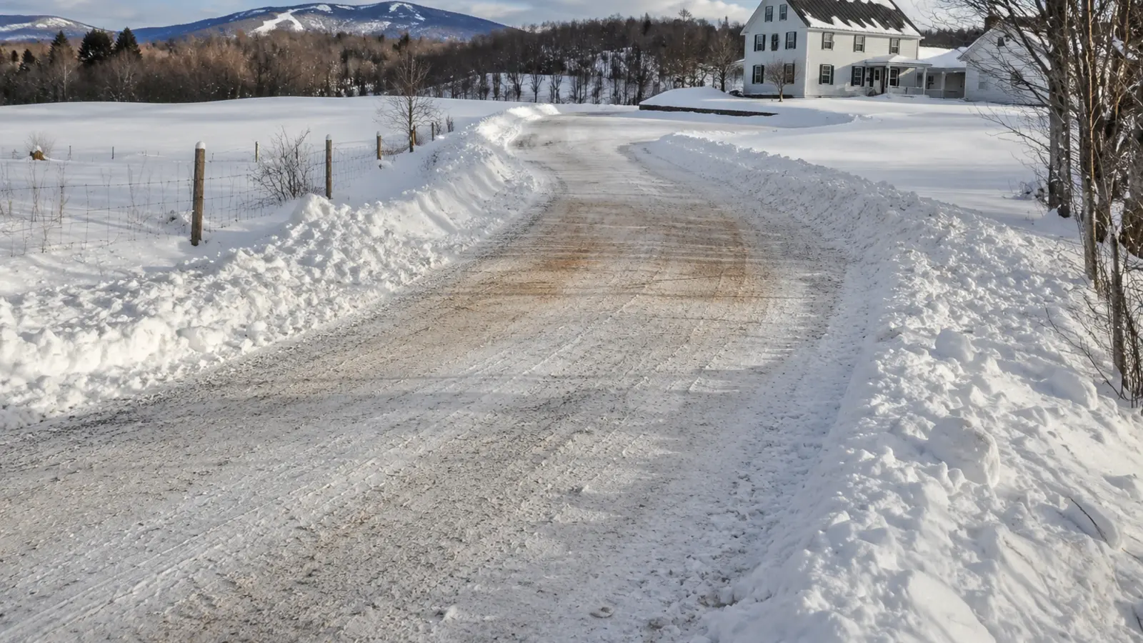
Operating decision
On a preseason snow staking & site mapping property, the fall walk should identify boundaries, obstacles, drains, utilities, snow storage, parking, priority access, and the authorized contact.
On a preseason snow staking & site mapping property, contracts should explain depth measurement, long storms, mixed precipitation, blocked access, return passes, and the price or approval process for extra work.
For preseason snow staking & site mapping, the proposal should name the activation point, mapped work area, visit standard, exceptions, and separately authorized work.
Geometry, surface, grade, obstacles, storm tier, timing, and return work all move the price of preseason snow staking & site mapping.
For preseason snow staking & site mapping, you set the priority access, the finish standard, the legal storage area, the treatment zones, and who may approve added work.
With preseason snow staking & site mapping, walks, treatment, widening, hauling, moved vehicles, and hidden-object repair are not implied unless the scope names them.
Related winter work
See every option on the snow and ice services page.
Straight answers
Walking the property while the ground is visible and recording what disappears under snow: the usable edges of every surface, culvert ends, drainage structures, soft shoulders, surface transitions, low walls, sprinkler heads, curbing, islands, utility covers, and anything else a blade or a bucket would find the hard way. Then marking them, and producing the map the winter's work runs from.
Because it decides who pays when something gets struck. An unmarked hazard hidden under snow is generally the property's exposure rather than the operator's, and the autumn walk is what converts an argument in March into a shared record made in October. It is also the only time an honest scope can be written, since nobody can measure a driveway through two feet of snow.
Outside the usable surface, not on it and not in the ditch — far enough out that the intended cleared width is preserved, close enough that they define it. On a gravel drive that means outside the crown; on a road, beyond the shoulder; on a lot, at the islands, curbing and the storage-area boundaries. Height matters too: a stake buried by February is no longer marking anything.
It is frequently included when a seasonal agreement is signed, and priced as a short site visit when it is not. Either way it is among the cheapest items in a winter budget and among the highest-leverage — it is what prevents damage disputes, produces a scope that can be priced without guessing, and gives the operator a usable reference at 3am.
The whole property from both directions along every travelled surface, the edges and shoulders close up, the drainage, anything already damaged, the intended storage areas, and the transitions where one surface becomes another. Dated autumn photographs are what settle a spring conversation about whether a gouge in the lawn was there before.
The priority order of areas, the approved snow-storage locations ranked in the order they get used, the no-stack zones and why, the treatment zones and the material each takes, the pedestrian routes, the accessible routes and spaces, and the fire access. The map is the operating document; the contract is what governs it.
Before the ground freezes, which in this region means autumn rather than late November. Once the ground is hard, stakes cannot be driven properly and end up shallow, and the first substantial event takes them out. That timing is one of the practical reasons winter service is arranged in September.
Often, yes. Stakes get struck, buried, pushed over by banks, and lost. A property that stakes once in October and never checks has an unmarked drive by January in exactly the areas that took the most abuse — which are the areas most likely to need marking.
They are the usual cause of damage, and the walk-through is when they surface. Old fence posts, a dry-stone edge, an unused water shut-off, a landscape light, a septic cover, the corner of a patio — all obvious in October and invisible in January. Anything the owner cannot point to during the walk is something nobody will know about until it is struck.
Whoever knows the property and whoever will authorise work during the winter, together with the contractor. On a residential property that is the household; on a commercial or association property it is the named contact. A walk-through the decision-maker did not attend produces a map they have not agreed to.
It usually makes the quote both more accurate and more defensible, in either direction. Sites turn out to have less storage than assumed, longer backing distances, more separate zones, or an access constraint nobody mentioned — and equally, some properties turn out to be simpler than a phone description suggested. Either way the price stops being a guess.
Usually still yes, on a reduced scale. Even a short drive has an edge that disappears, a surface transition at the apron, and often a landscape element beside it. The walk takes minutes and the record it produces is the same record that settles a dispute.
It gets more predictable service, which is a different and more honest claim. The operator knows the boundaries, the storage areas and the priorities without improvising, which reduces damage, reduces the areas missed, and shortens every visit. It does not change how quickly a property is reached, and it does not make any surface safe.
Winter starts before the forecast
Map the property, choose the right service trigger, and decide where the snow should go before the first route rolls.